Make your firefly map REALLY glow
By kate on January 11th, 2017
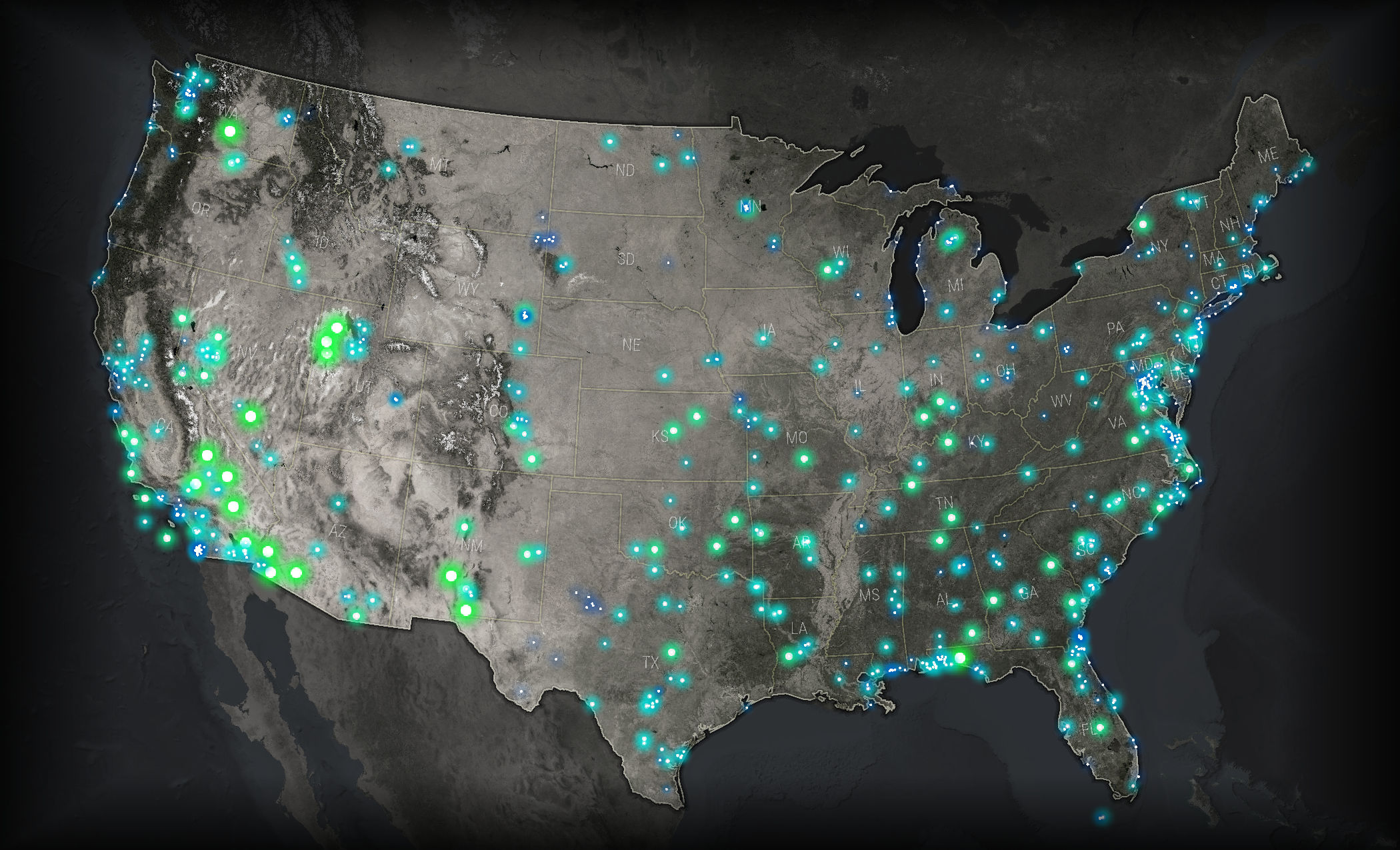
This fall, I attended my second NACIS (North American Cartographic Information Society) conference, which has become a highlight of my year. One talk I found particularly inspiring was John Nelson‘s presentation on Firefly Cartography. I could explain what that means, but an image makes it pretty clear.
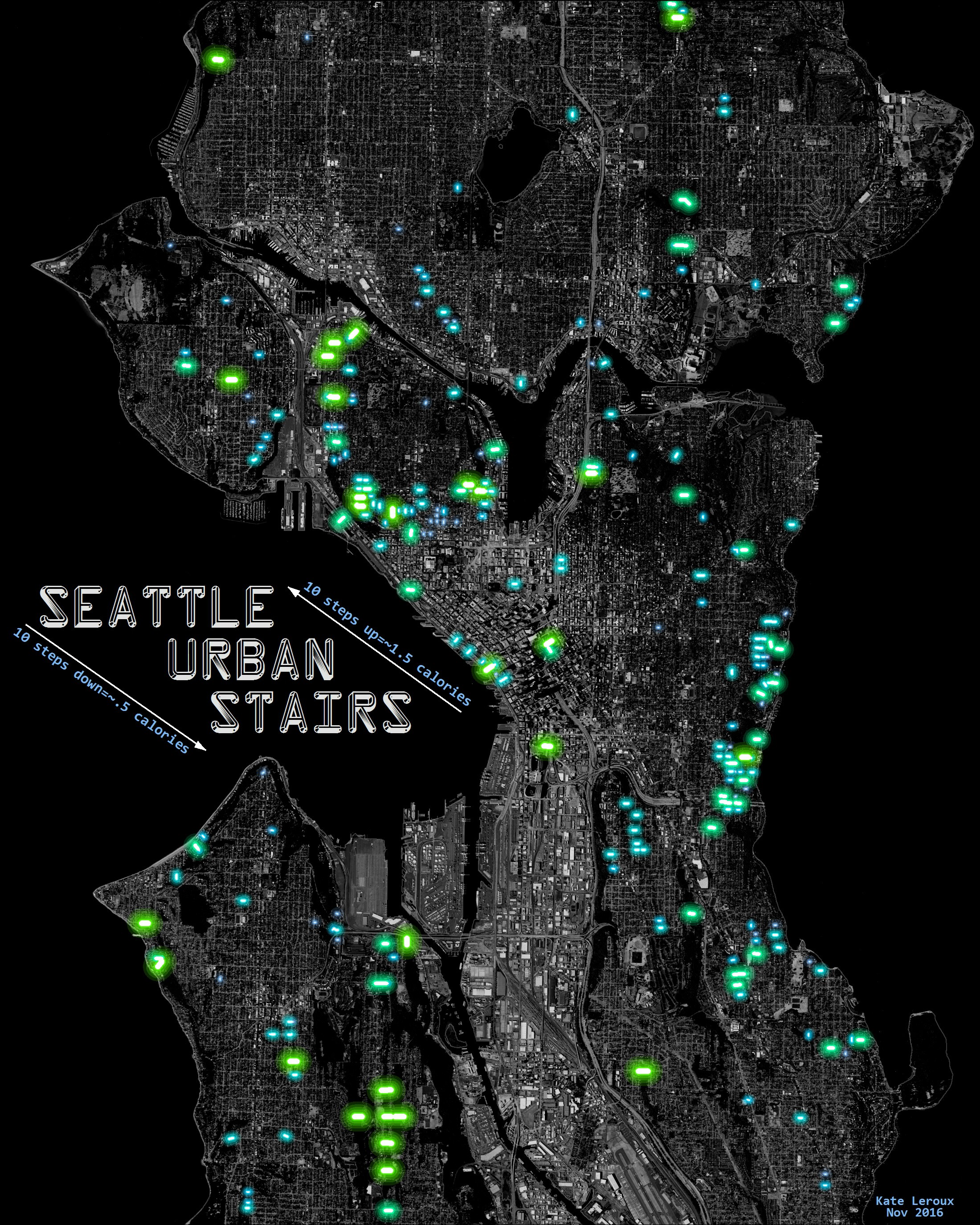
I was excited to make my own firefly map. At the same time, I was knee-deep in roads data for my employer, the City of Seattle, and had been wondering about the public staircases I noticed there. So I seized on that theme, and created this map in a few hours, using only ArcMap.
As John noted, glowing things have a white center surrounded by opaque color, then increasingly transparent color. I didn’t take the time to make perfect gradient icons in Illustrator; instead I just repeated the layer several times in ArcMap. The staircases are classified by length, so longer stairs are greener and brighter.
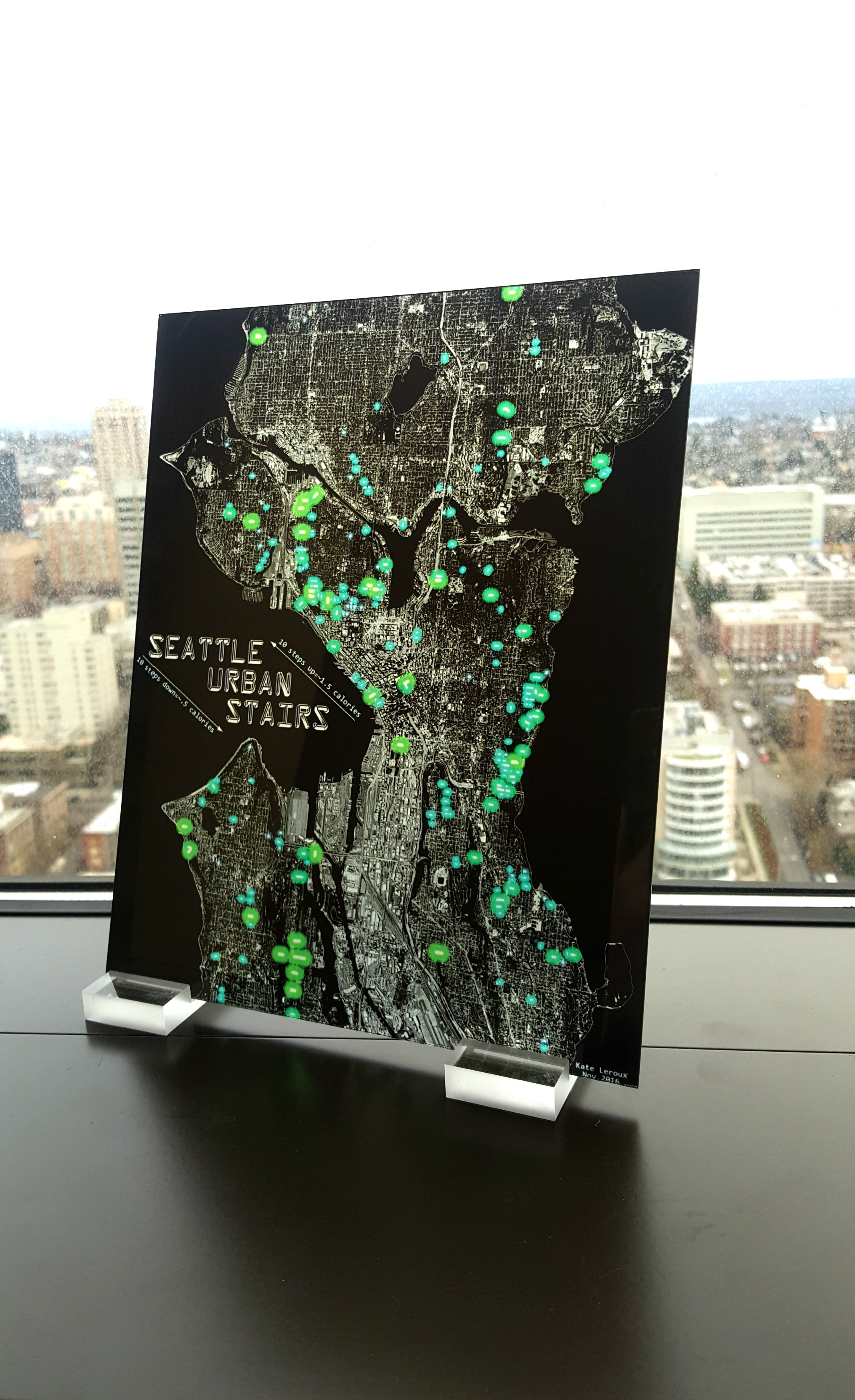
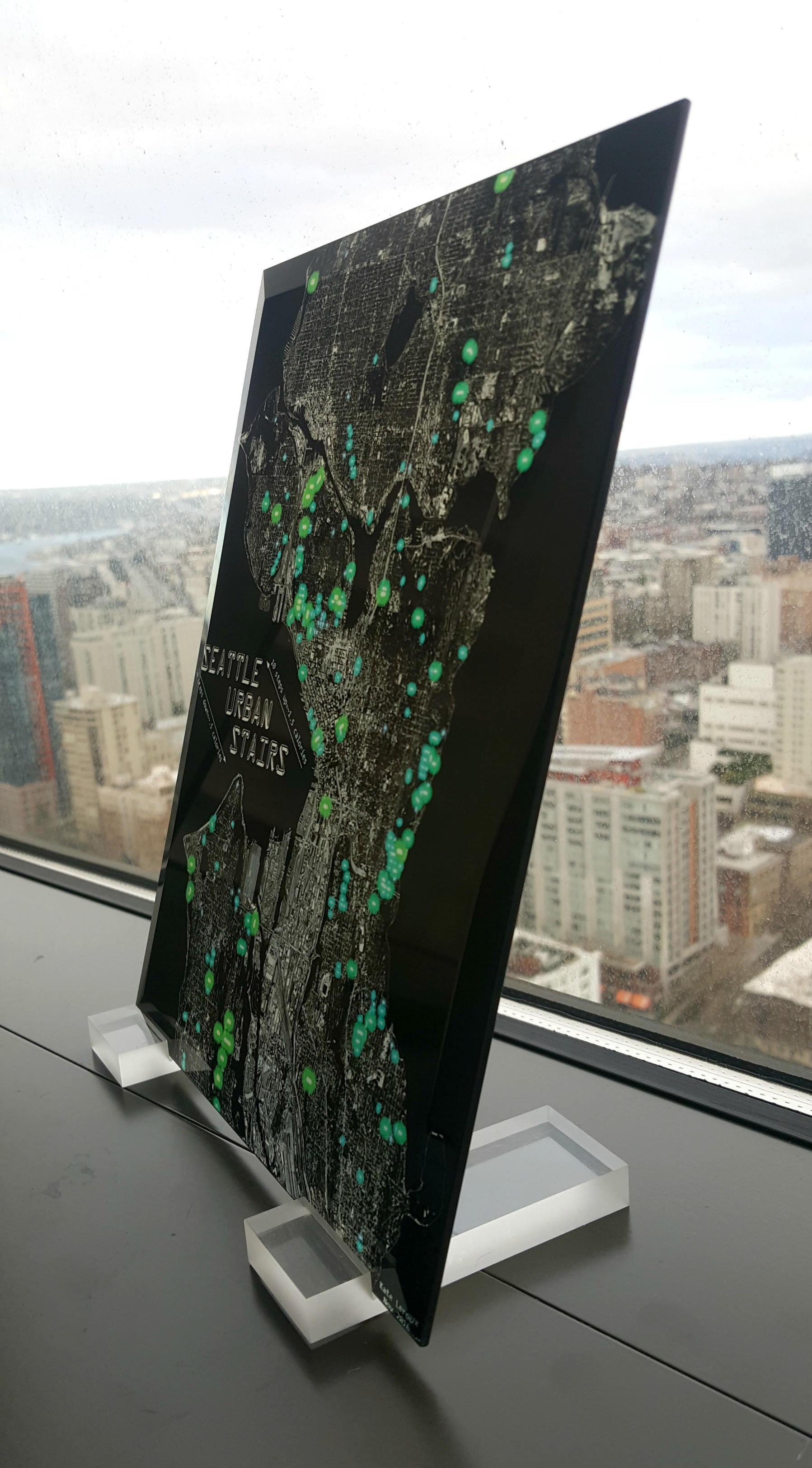
After I finished I was pleased with the look, but I wanted to take it a step further and make it really glow, not just look like it was glowing. So, I had it printed on glass!
It’s easier than you might think – you can order glass prints from Shutterfly�(promo codes are usually available for a discount off the list price). Now my map truly glows.
Filed under: art, handiwork, seattle
| « Summer trip to Asia | Where I Stand » |


January 11th, 2017 at 8:59 pm
Kate, I’m really honored you tried it out and happy to see the results. What a great topic and beautiful production! I’m going to look into glass prints. Thanks for sharing.
March 31st, 2017 at 7:20 am
This is so cool. Thanks for commenting on Johns post. I hope when John presents this work at future conferences that he’ll include these photos.
I’d love to see a picture of the map backlit, in a dim room.
February 5th, 2018 at 8:44 am
Hi Kate-
Your map looks amazing!
I am having some issues getting the basemap to render at a similar scale as the one you have- The basemap just goes black once the scale moves past 1:4,000,000. Did you have any issues with this / any tips on how to fix the problem?
February 5th, 2018 at 10:58 am
Thanks, Kiel! I used Esri’s World Imagery. I made a local copy so I could change it to greyscale and tinker with the brightness. I’m not sure why it’s suddenly turning black for you – I didn’t experience that.