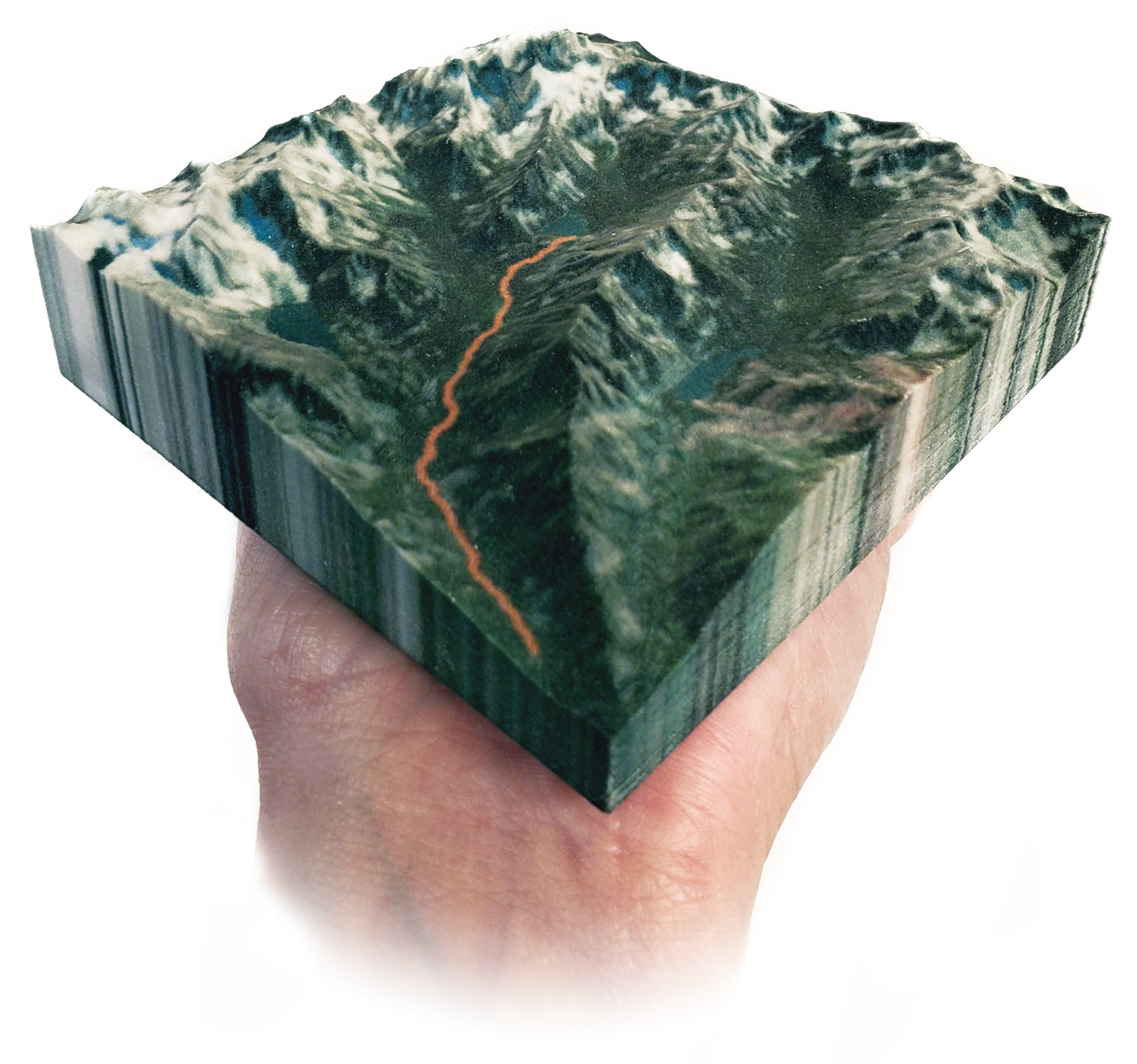
I participated in How to do Map Stuff, a virtual cartography workshop, and gave a live demo of the process to create this 3D-printed terrain map.
3D map resources
- Ingredients for the demo:
- Elevation data
- GPS tracks
- Water bodies
- Shader editor diagram
- Text to paste:
<ImageTexture url="highdivide_aerial.png" />
- Outputs from the demo:
- Elevation image
- Aerial image
- Blender file
- STL export
- X3D export (zipped with image texture)
- Helpful sites:
- Daniel Huffman’s excellent Blender tutorial
- #screenshotforthewin talk (Tim Meko, NACIS 2019)
- #cartoblend talk (Nick Underwood, NACIS 2019)
- Washington Lidar Portal
- The National Map (water bodies & elevation data) – click Theme Overlays
- Kepler (map data visualization tool)
- The Blender 2.8 bug (textures not exported to X3D)