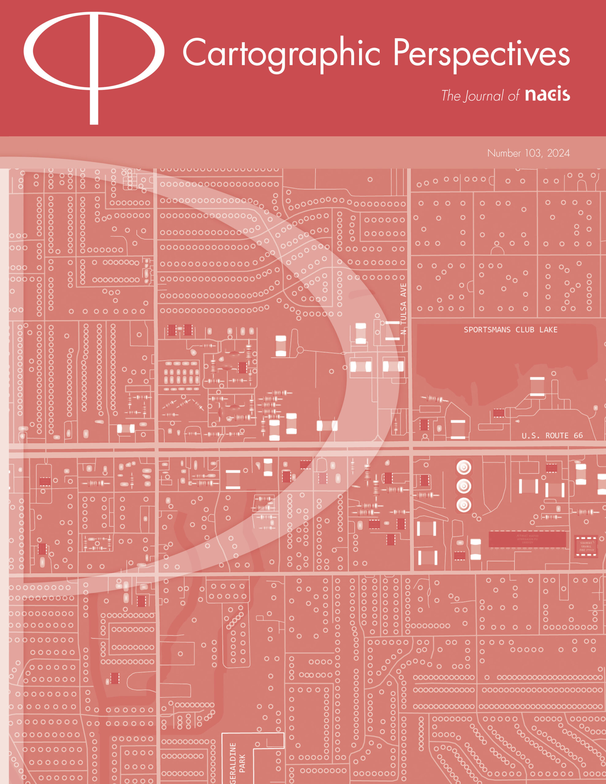
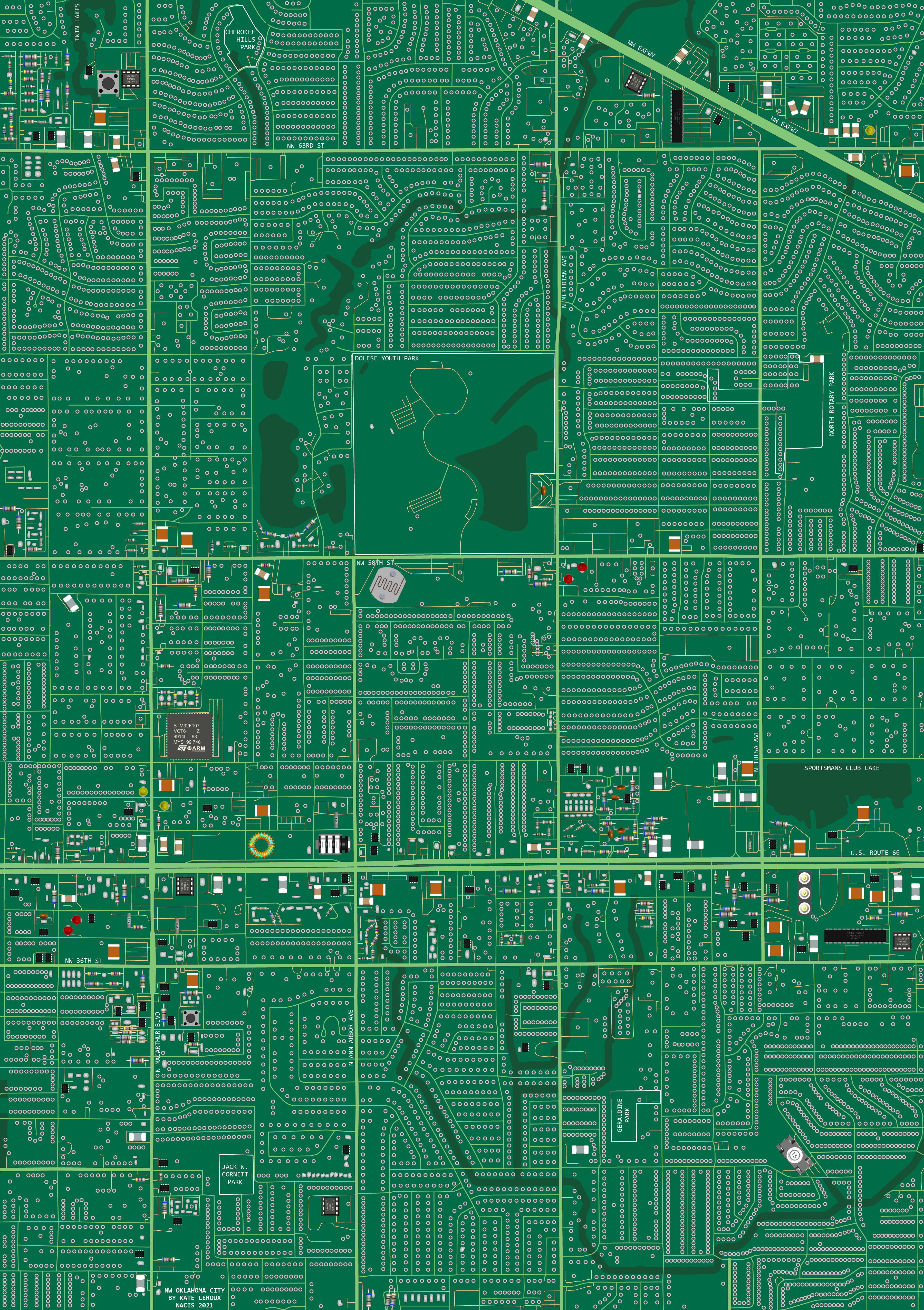
I was asked to create a panel for the NACIS 2021 map quilt, and assigned a section of Oklahoma City. I’d recently been tinkering with Arduino circuitry, so my grid-like suburban corner of OKC immediately reminded me of a circuit board. I also wanted to highlight Oklahoma City’s tech industry and significant role in the growing Silicon Prairie.
On my map quilt square, buildings from OpenStreetMap became components, classified by size. I made the smallest buildings connector holes and lumps of solder. Medium-sized buildings became common components like capacitors and resistors, and the largest buildings became unique components like a speaker and inductor. To get the component images, I found 3D models of each so I could capture the perfect overhead angle.
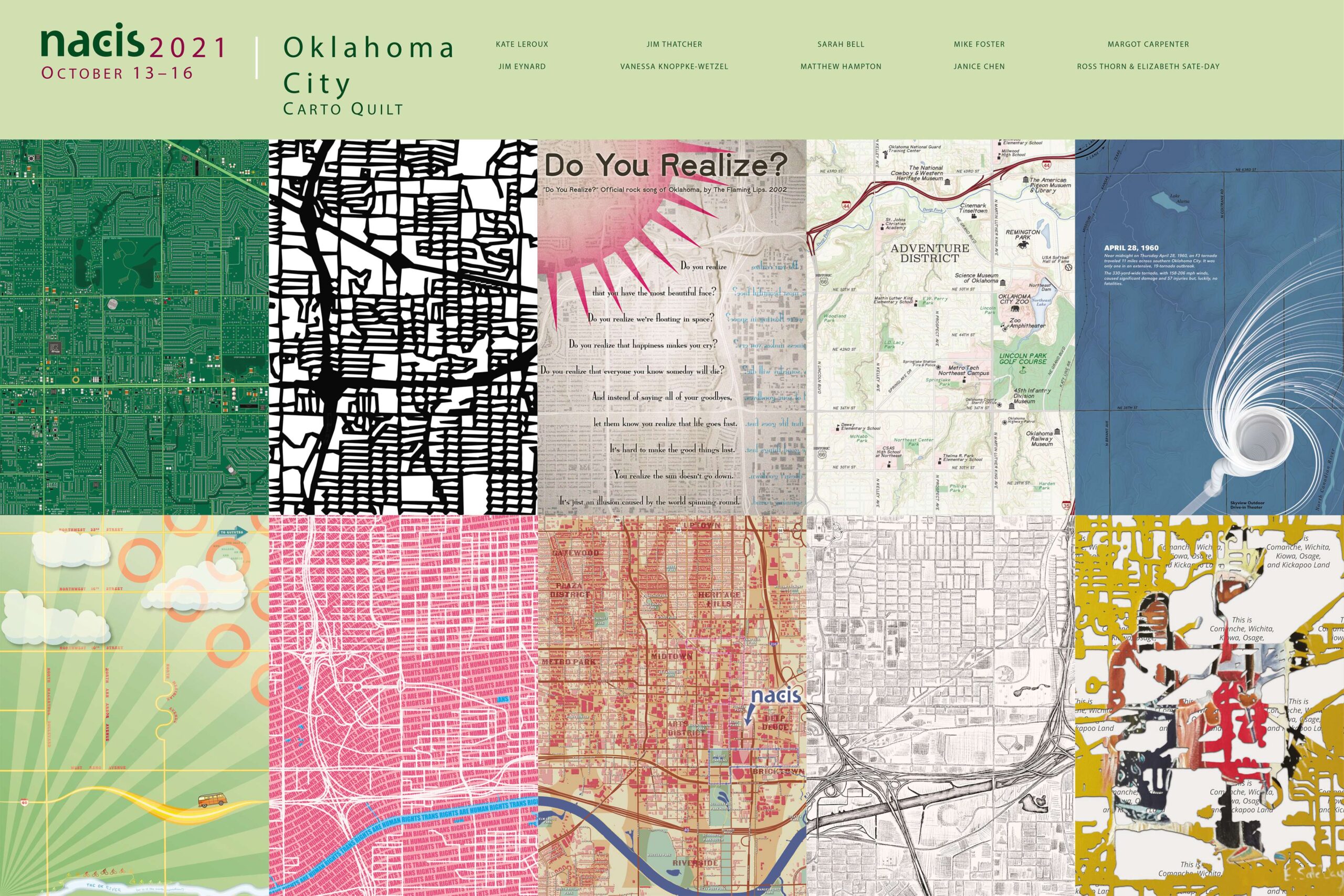
Here’s my square as part of the whole quilt, showcasing the work of several excellent cartographers.
In 2024, this map was featured on the cover of Cartographic Perspectives volume 103: