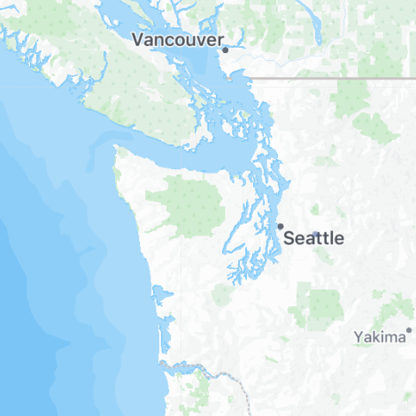
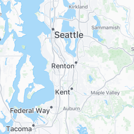
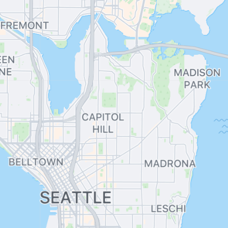
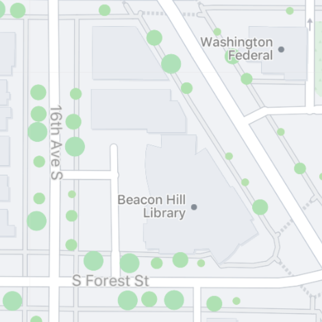
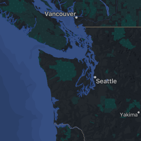
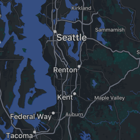
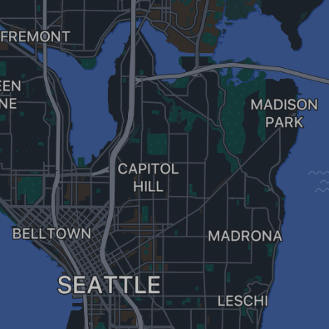
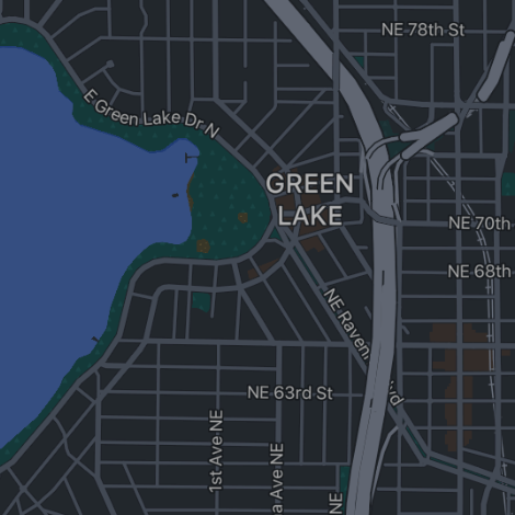
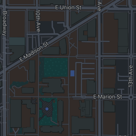
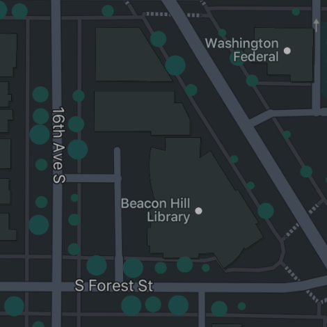
Through Stamen Design, I worked on a small cartographic team that improved, maintained, and added new features to the vector tile basemap used throughout Facebook and Instagram.
In addition to visual improvements, I conducted a thorough reorganization of the vast number of build files used to generate the vector data tiles and map stylesheets. This made the cartographic system simpler and easier to use, less redundant, and more consistent. I also wrote the first version of the layers documentation for Meta’s Earth Table database.
